2010-2020 Census Data Released

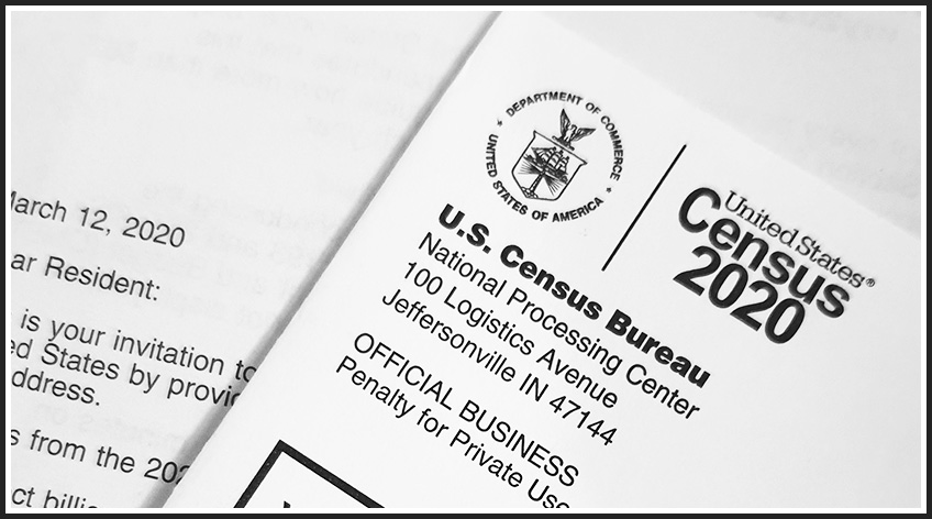
The United States Census Bureau released 2020 Census figures in August. These figures are part of the decennial Census that provides population, racial/ethnic information, housing, and group quarter information at the Census block level, the smallest geographical unit for which this type of information is gathered. These data in turn can be aggregated to Census tracts, counties, states, etc. A national interactive map is available here: 2020 Census Demographic Data Map Viewer.
Below, we looked at Indiana’s data and compared the 2010 and 2020 decennial census to provide a series of insights for residents and community leaders.

Roberto Gallardo is the Vice President for Engagement and an Associate Professor in the Agricultural Economics Department. He holds an electronics engineering undergraduate degree, a... read more


